The 6 Best Winter Thru-Hiking Trails in the U.S.
Winter can be a cold albeit magical time to go backpacking. The crowds are minimal, the air is fresh, and the views are unparalleled. While cozying up next to the fire with a good book is enticing, getting outside and experiencing the beauty of the natural world is worth it every time. With a little extra planning and the proper gear, wintertime thru-hiking can be the adventure of a lifetime. And it’s not just a shift in attitude that’s necessary; often a shift in latitude helps as well, rethinking the wilder options in southern climes with milder winter temps. Here, we’ve rounded up six overlooked, yet enticing long-distance hiking and backpacking routes to unplug, escape the depths of winter and go trek in the contiguous United States.

Ozark Highlands Trail
Winslow, Arkansas
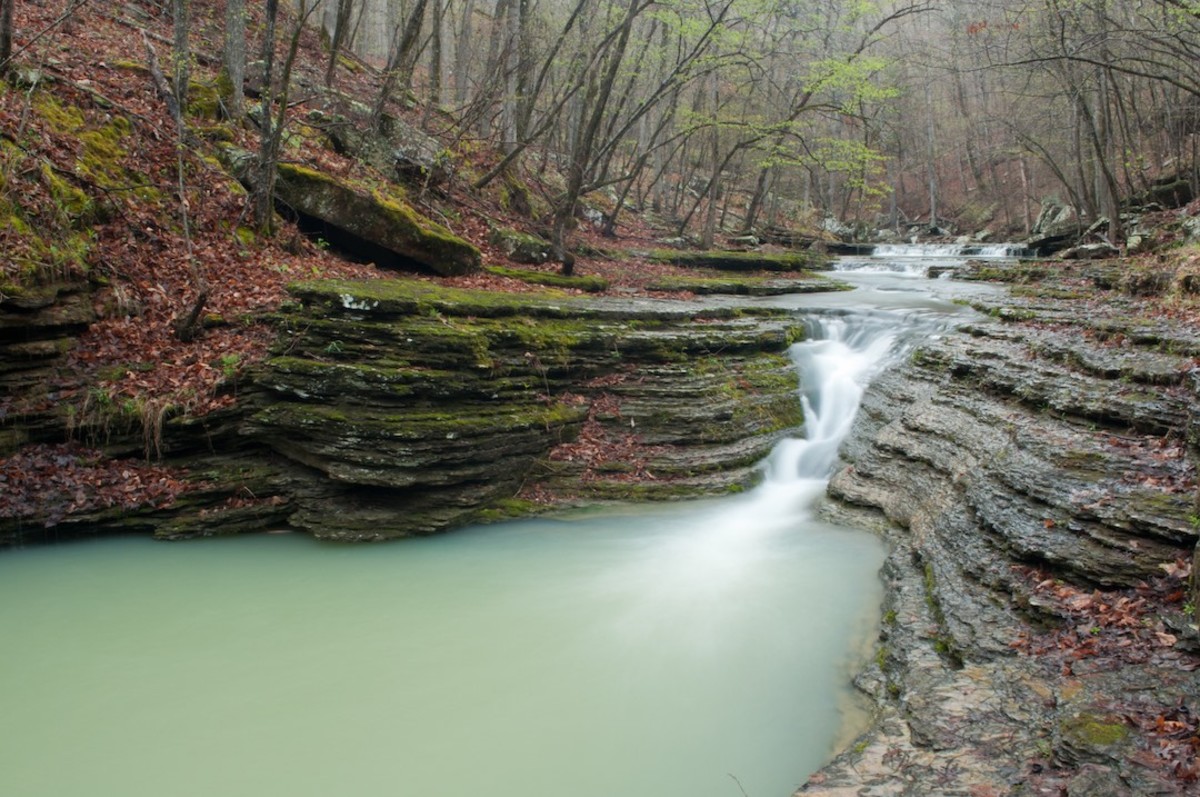
Located in Northwest Arkansas, the Ozark Highlands Trail begins at Lake Fort Smith State Park and ends at Buffalo National River, showcasing some of the best views the Ozarks have to offer. Over the course of the point-to-point trail, hikers are treated to views of vistas, waterfalls, rivers, forests, and the famous Ozark Mountains. Prime time to visit is between fall and early spring, as the summer months can get pretty toasty. The 160-mile, dog-friendly trail includes approximately 23,622 of elevation gain and typically takes hikers 10 to 14 days to complete.
Florida Trail
Putman County, Florida
A popular backpacking destination since 1966, the statewide National Scenic Trail runs from Pensacola Beach to the edge of the Everglades. Most hikers navigate the trail from south to north, allowing them to complete the most difficult portion of the trail first. Along the way, hikers can expect to encounter a variety of terrain and ecosystems including wetlands, lakes, floodplains, sand pine-scrub forest, rural farmland, timberland, and coastal views. The Florida hiking season runs from October to April, with January, February, and March being the best months for lengthy backpacking trips. The point-to-point trail spans 1,400 miles and takes anywhere form 60-90 days to complete.

Dominguez Canyon Loop
Whitewater, Colorado
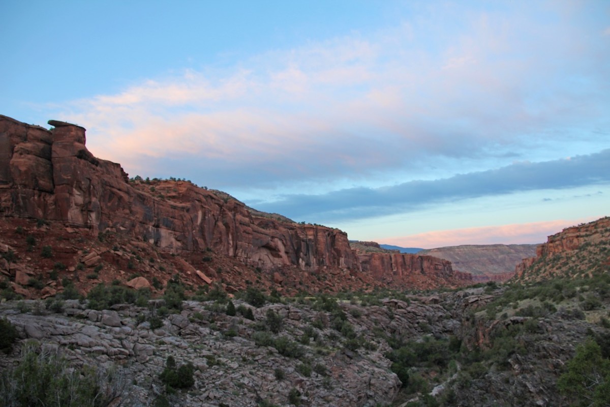
Situated on the outskirts of the Colorado Plateau, the Big and Little Dominguez Canyon loop is a solid winter backpacking option. While there are a number of scenic day-hikes, for a distance thru-hike, head up Big Dominguez Canyon from the Gunnison River before traversing sagebrush flats and returning down Little Dominguez Canyon. The dog-friendly hike offers stunning views of the river, waterfalls, towering cliffs, and historic petroglyphs. Although the trip is only 40 miles, it is best suited for experienced hikers, as it requires solid navigational skills to traverse the poorly marked trails. The hike includes roughly 4,500 feet of elevation gain and can be extended as a 3- to 5-day trip.
Black Canyon Trail
Spring Valley, Arizona
Frequented by hikers, bikers, and equestrians, the Black Canyon Trail is a point-to-point hike that begins at Prescott National Forest and finishes at the Carefree Highway. The singletrack trail is typically hiked north to south and the high desert views include saguaro forests, rugged canyons, and the Bradshaw Mountains to the west. Temperatures remain moderate year-round, falling between 40-70 degrees in the winter months. The trail is somewhere in the ballpark of 70-80 miles, includes 5,885 feet of elevation gain, and typically takes seven days to complete at a leisurely pace.
Lone Star Hiking Trail
Anderson, Texas
Ringing in at 96 miles, the Lone Star Hiking Trail is the longest continuous trail in Texas, with 32-miles of additional loops and trail add-ons. Located an hour outside of Houston in the Sam Houston National Forest, the trail begins just south of Richards and finishes just northwest of Cleveland. The well-marked trail winds through pine and hardwood forests, along creeks, and past bayous. Due to Texas’ mild climate, the hike is most popular in winter and spring but is ideally conquered beginning in January when hunting season is over. The moderate trail includes 3,576 feet of elevation gain and usually takes hikers 10 days to complete.
Pinhoti Trail
Weogufka, Alabama
Snaking its way through Georgia and Alabama, the Pinhoti Trail is a challenging 350-mile trek. The hike begins at Flagg Mountain near Weogufka, Arizona and finishes at the intersection of the Pinhot Trail and the Benton Mackaye Trail at Mile 72.2. Often compared to the Appalachian Trail, the Pinhoti Trail offers views of green tunnels and rocky outcrops, as well as secluded wildness areas coupled with easy access to civilization. Peak season to visit is between October and April as the weather is cooler and bugs are minimal. The trip includes 47,930 feet of ascent and can take hikers anywhere from three to five weeks to complete.
For access to exclusive gear videos, celebrity interviews, and more, subscribe on YouTube!
